1It began with a signal
Aircraft over Atlanta reported their position several times a second. Here are 30 minutes of those reports, sped up.
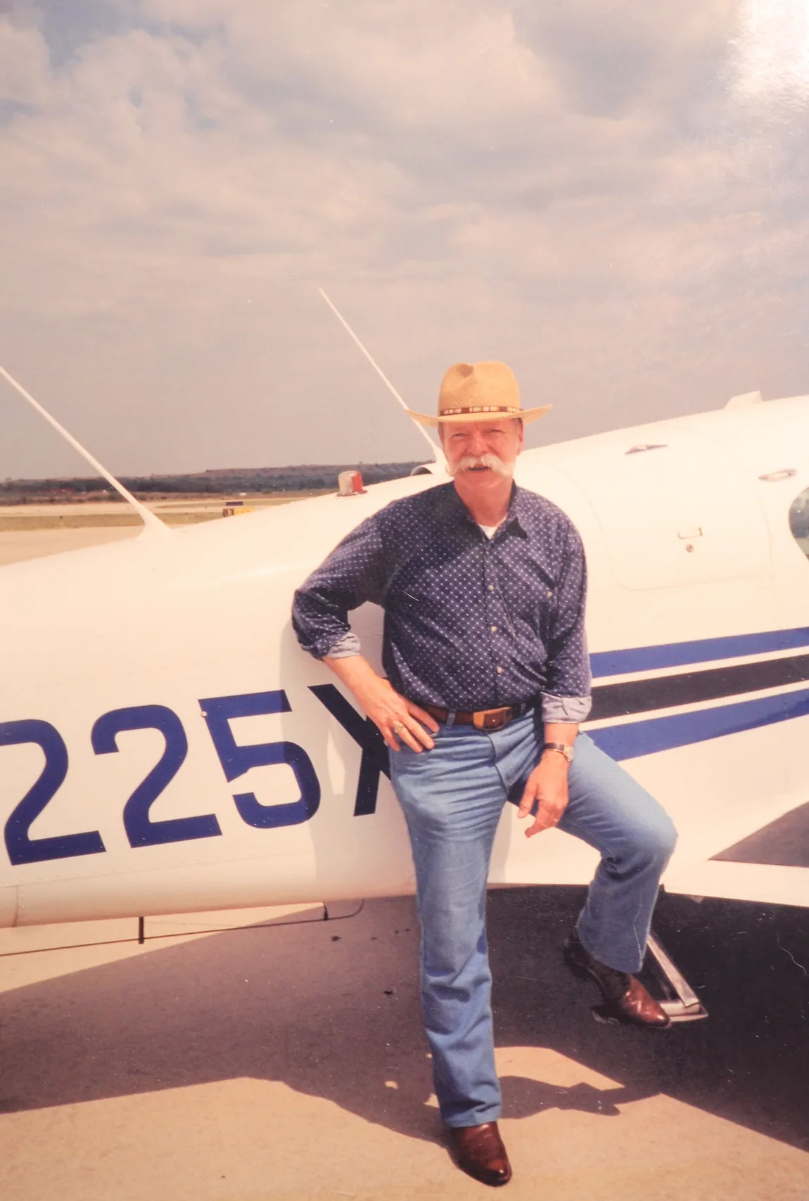
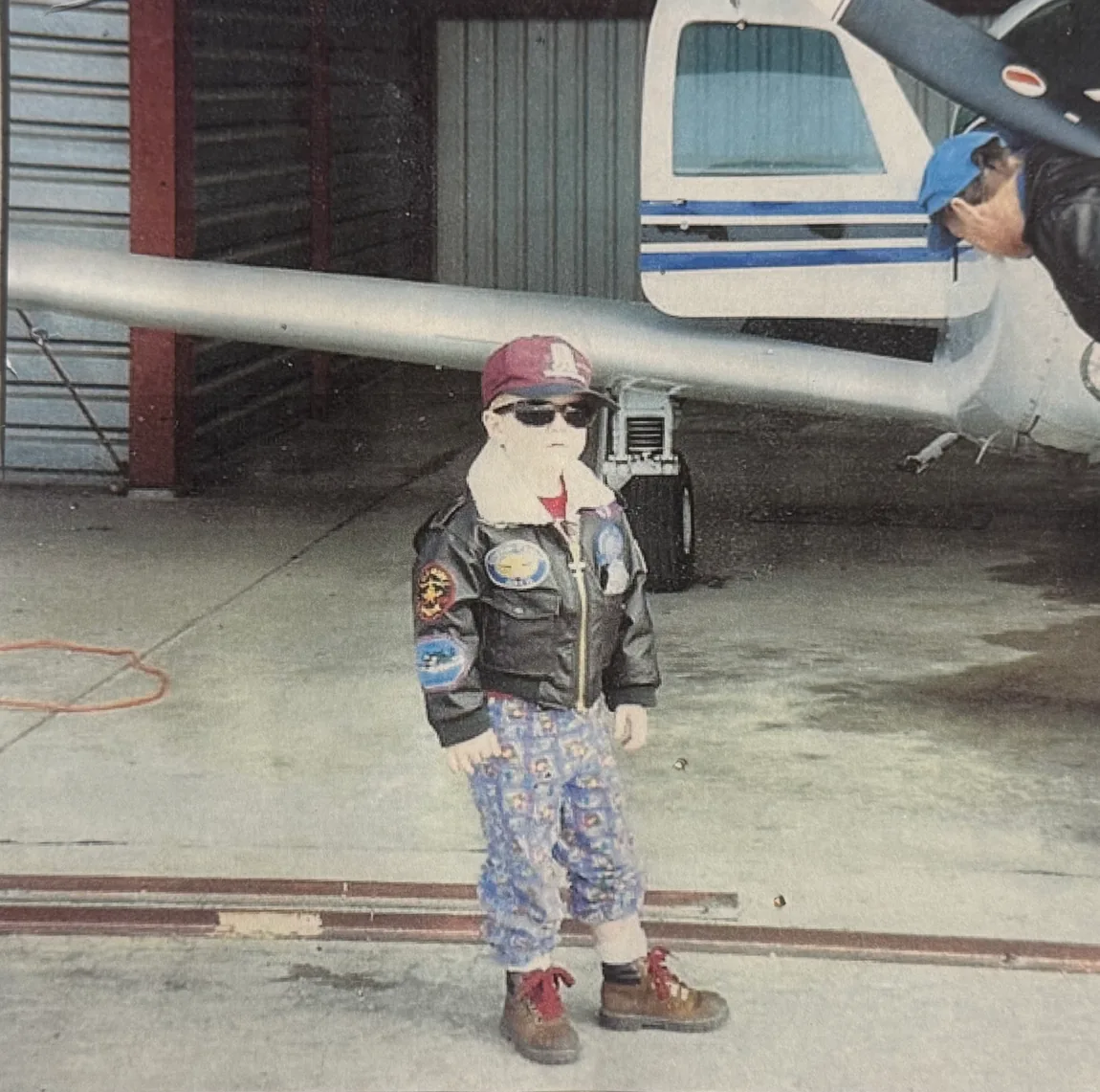
I come from a family that flies. My grandpa was a pilot who ran an agricultural magazine and flew his Mooney across the country to interview farmers. My dad flies private. My uncle flies private in the same Mooney he inherited from my grandpa. My brother flies a 737 for United.
I never got my license. I went toward the data instead.
I became a software engineer, most recently at Garmin. Early on, an internship there had me building internal tools for updating aviation raster maps: the charts and terrain imagery that pilots like my family depend on. For the first time, the world I'd grown up around and the work I did for a living overlapped. It stuck with me.
Years later, I made my brother a Christmas gift: a map of his entire flying career, built from ADS-B data. Then I wondered what a single day of departures and arrivals at Denver (KDEN) would look like through the same software, and ran it. The result was more art than data. It was a portrait. Every airport, it turns out, draws its own fingerprint in the sky.
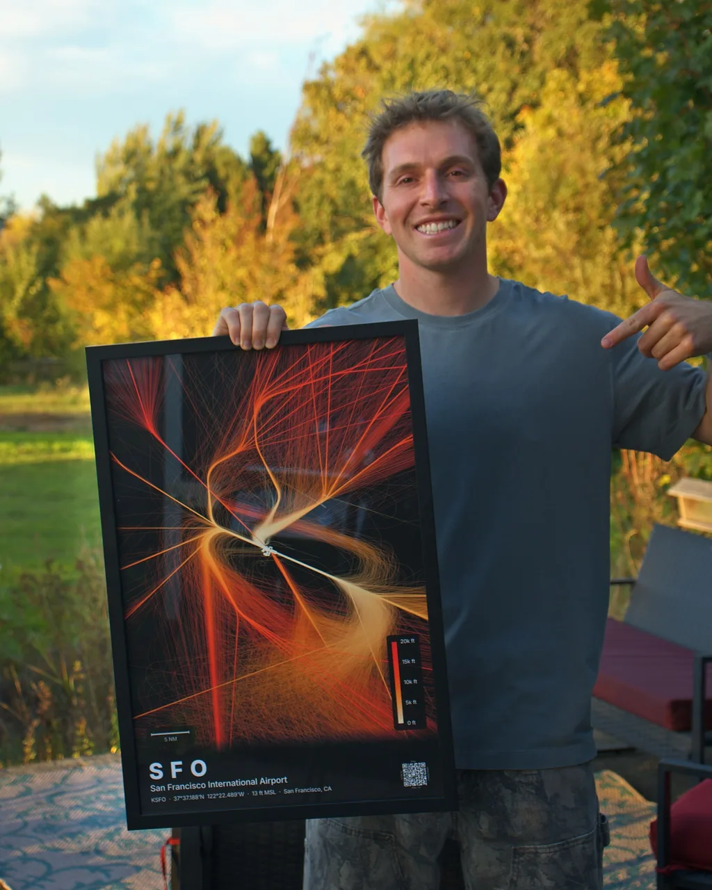
SkyPath Studio is where those threads meet. Every print starts as millions of raw ADS-B position reports. I pull the data, then compose the piece by hand: choosing the days and flights that make the strongest image, tuning the trails, drawing out the shape hidden in the traffic. It's colorized by altitude, then printed to order.
It's my way of flying. Three generations traced their paths through the sky. I trace them in the data, and turn them into something you can hang on a wall.
Seth, founder of SkyPath Studio
Every airport draws its own shape in the sky. Here's how I found Atlanta's.
Aircraft over Atlanta reported their position several times a second. Here are 30 minutes of those reports, sped up.
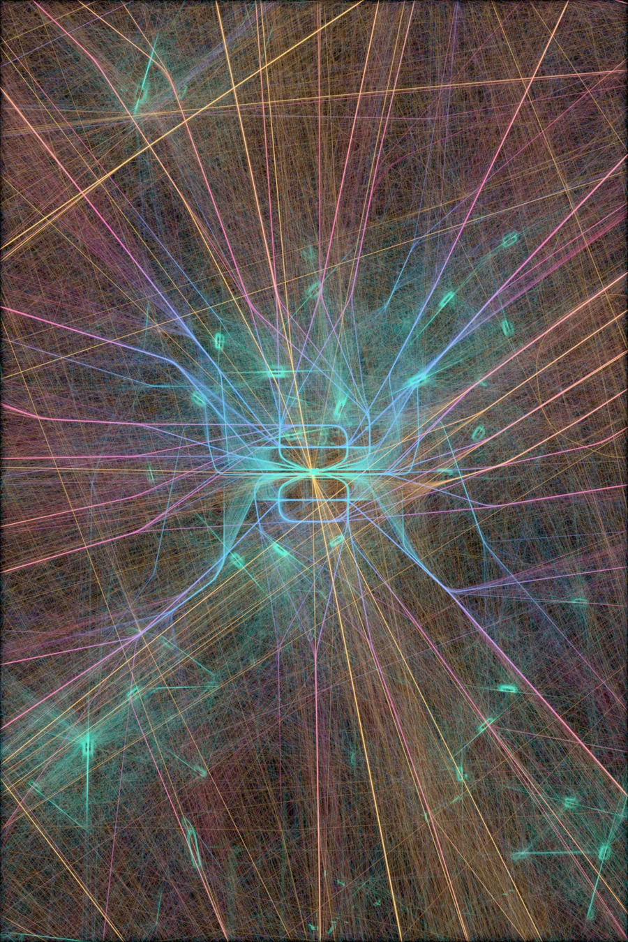
I layered three days of those reports and the sky filled in. Atlanta's flights were in there, mixed with overflights and traffic for other airports.
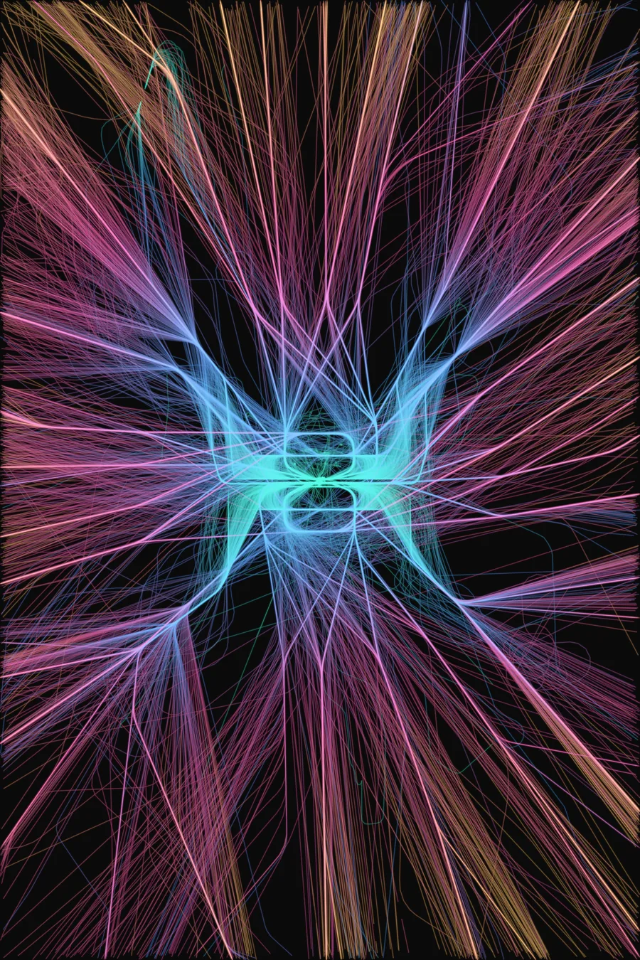
I kept only the flights that took off from or landed at Atlanta, about one aircraft in four, and set the rest aside. The runways and the routes began to take shape.
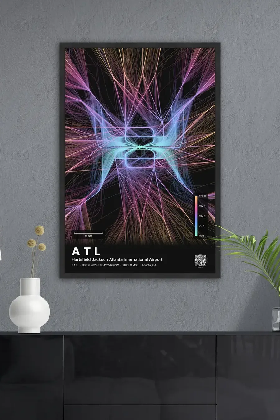
The rest was composition. I hand-selected the flights, for accuracy and for how they read together. Then I set the framing and the scale until Atlanta's shape felt right. Each print is made to order from that design.
Real flight data over your airport, composed by hand and made into a museum-quality print on aluminum, fine-art paper, or framed.
Browse Airports