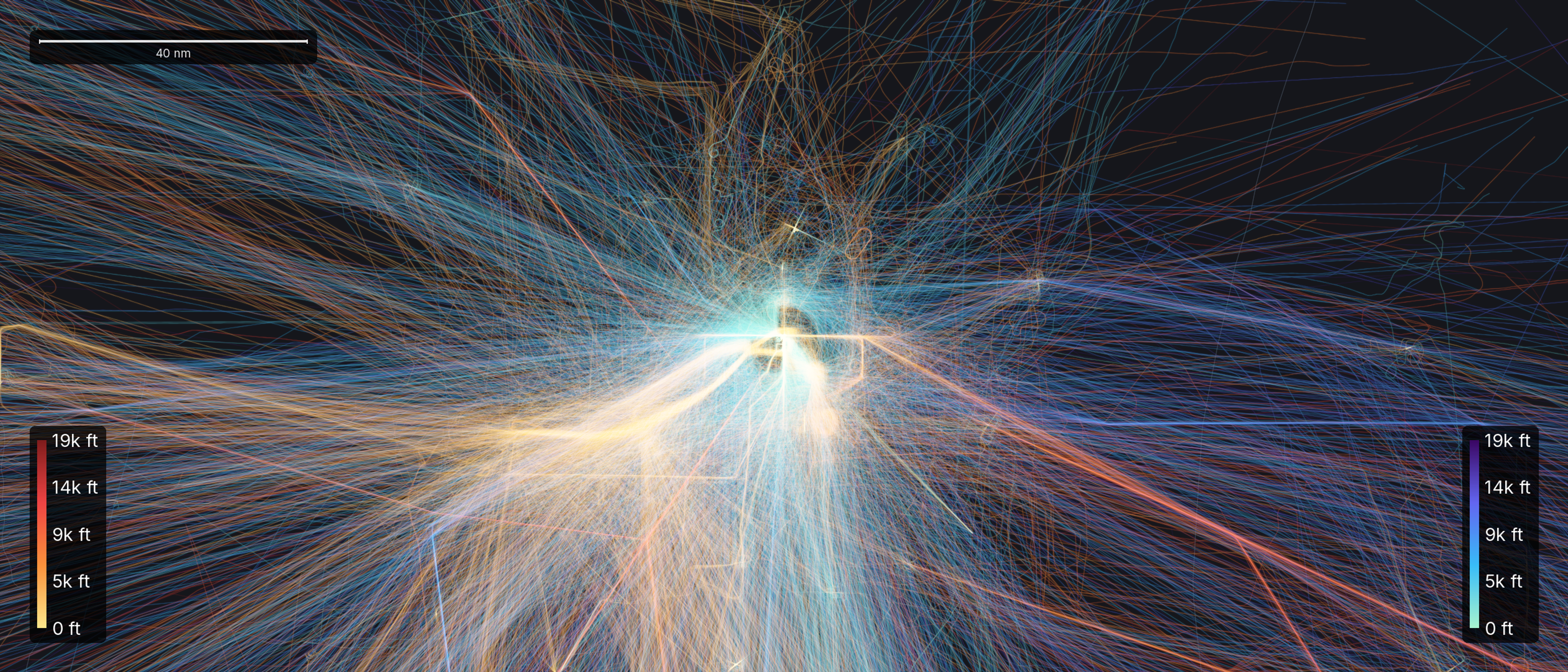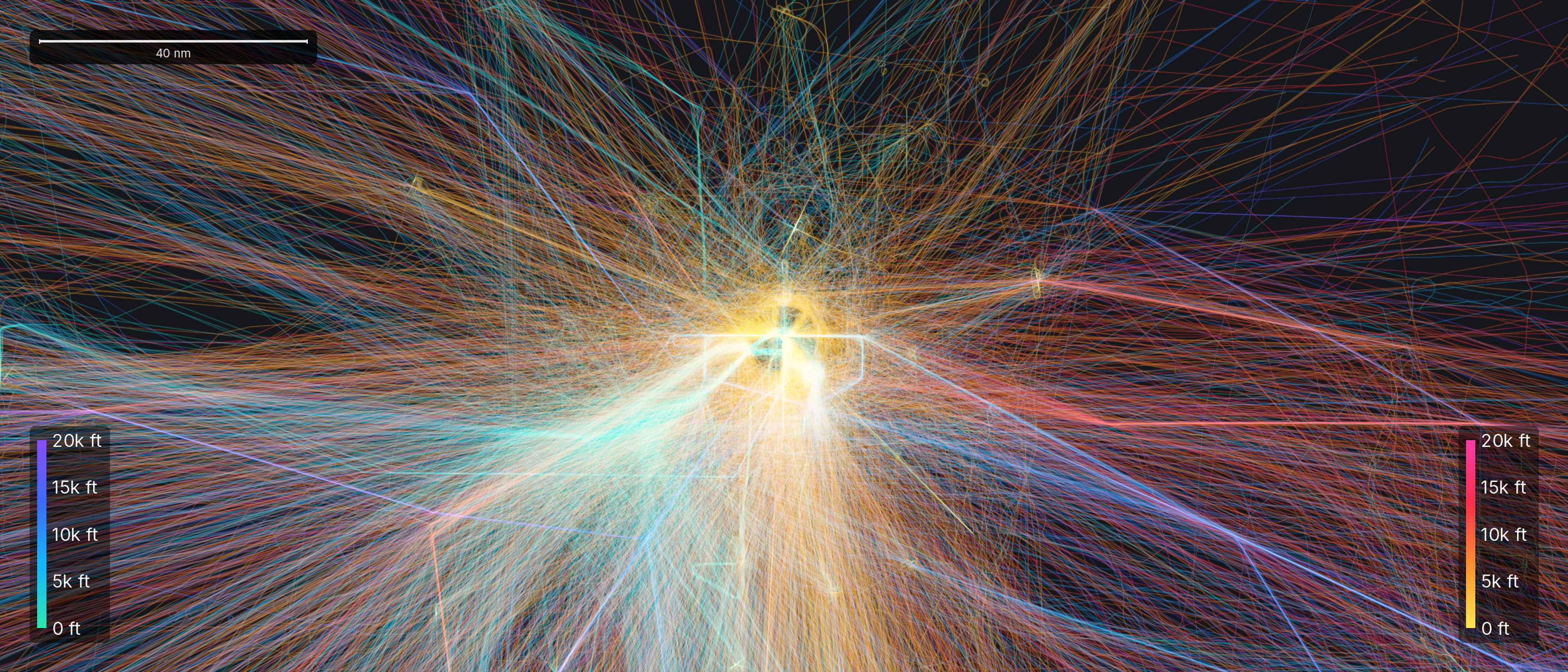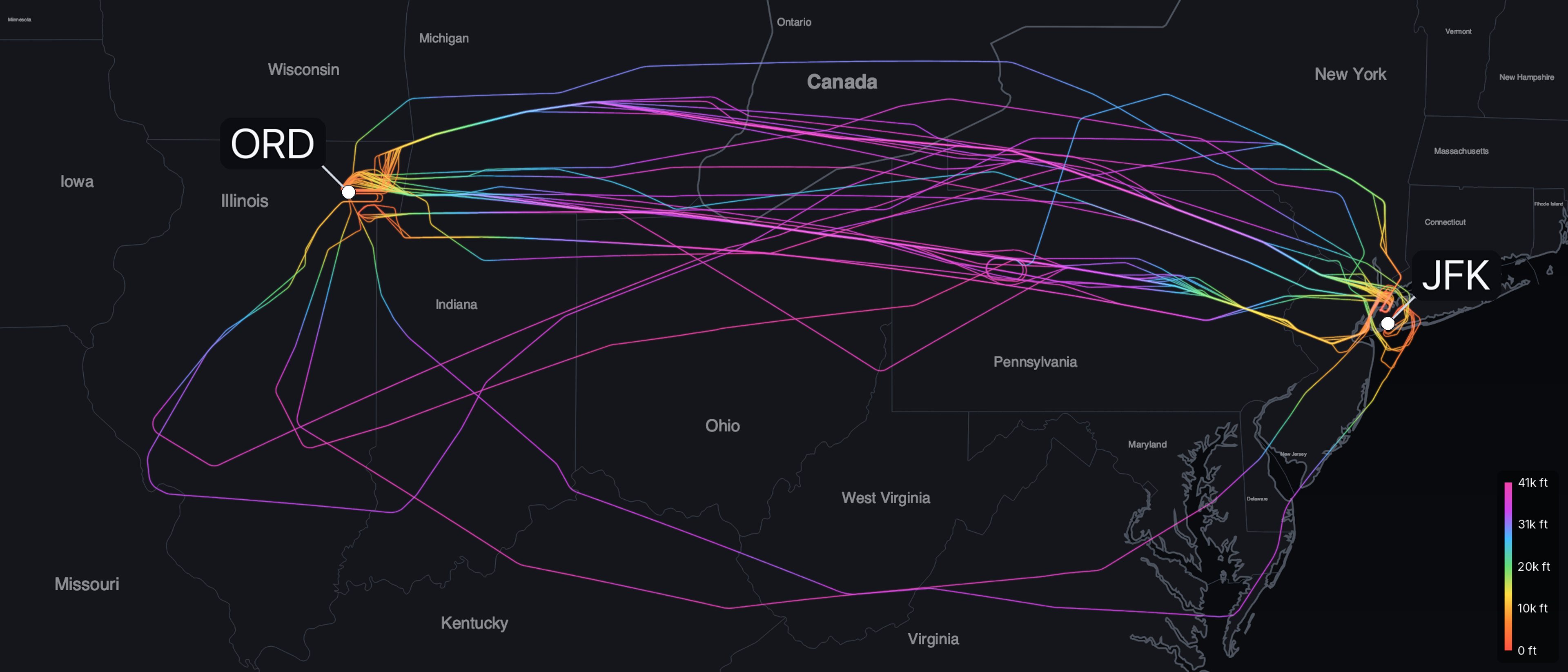
You can open your phone right now and watch aircraft move across a map as they fly overhead. That technology is the end of a road that took nearly fifty years to develop. Automatic Dependent Surveillance-Broadcast did not arrive all at once. It evolved one iteration at a time over five decades.
Watching from the ground, and its limits
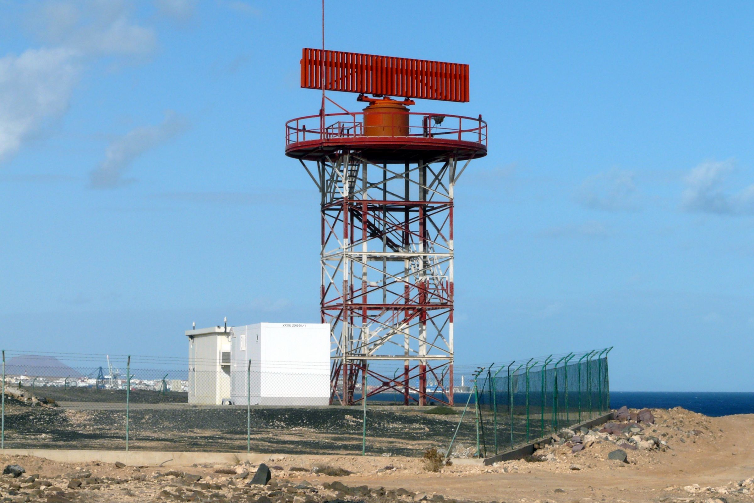
The system ADS-B grew up to supplement is secondary surveillance radar. With this radar technology, a ground station sends out an interrogation, a transponder aboard the aircraft replies with an identifying code and its pressure altitude, and the rotating antenna plots the reply. It works, but it has structural limits. Two aircraft in proximity may garble their replies. Replies meant for one ground station may be picked up by another as a false target. This noise is called FRUIT (False Replies Unsynchronised In Time or False Replies Unsynchronised to Interrogator Transmission).
Identifying codes are sourced from a pool of 4,096; few enough that a busy region may run short. And like all radar, line of sight rules, so coverage thins out at low altitude, behind terrain, and over open water. These limitations required air traffic controllers to space aircraft far apart to maintain safety due to the lack of high-fidelity data. In short, the lack of reliable and detailed data on aircraft positioning resulted in an inefficient usage of airspace.
A transponder that could be addressed: Mode S
A United States advisory committee proposed a way out of the garble in 1969. Instead of interrogating every aircraft in the vicinity and untangling the overlapping replies, address each aircraft individually. The proposal was called the Discrete Address Beacon System, DABS. MIT Lincoln Laboratory developed and tested DABS for the FAA through the 1970s. The idea was to assign aircraft a unique address and let the ground selectively interrogate one at a time. This avoided the chaos of aircraft replying simultaneously. DABS was later renamed Mode S, the S for Select. It also carried a two-way data link, a channel for more than just a code and an altitude.
Mode S is the foundation the whole 1090 MHz side of ADS-B rests on. The main ADS-B link is not a separate radio; it is an unsolicited broadcast, the extended squitter, bolted onto the Mode S transponder an airliner already carries. Decades before anyone was tracking flights on a phone, the hardware that would carry ADS-B was already being developed by a lab in Massachusetts. What that broadcast contains, field by field, is its own story.
Reporting instead of being found
While Mode S improved surveillance where radar could reach, the ocean stayed dark. No ground antenna can sit in the middle of the Atlantic, and for decades air traffic controllers spaced oceanic traffic far apart because of the observability dead zone.
In 1983, ICAO convened a committee on Future Air Navigation Systems to plan a shift away from ground radar toward navigation, communication, and surveillance based on satellites. Out of that work came a different way of thinking about surveillance: rather than a ground sensor finding the aircraft, the aircraft reports its own position. The first form of this was ADS-C, Automatic Dependent Surveillance by Contract. An aircraft sent position reports over a satellite data link on a negotiated schedule, a contract, rather than continuously. Boeing built it into the 747-400 as the FANS-1 package, and Qantas flew the first FANS-1 service in June 1995, from Sydney to Los Angeles.
This was dependent surveillance, but it was still a scheduled report over a private data link, sent only to the ground station holding the contract. It was not yet a broadcast. The important thing had been proven: an aircraft could be trusted to say where it was.
The piece that made it work: GPS
An aircraft reporting its own position is only as good as the position it starts from. For a system precise enough to separate traffic, that source had to be accurate, available everywhere, and cheap enough to fit in a small aircraft. GPS reached full operational capability in 1995, but civilian GPS was deliberately blurred. Under a policy called Selective Availability, the US military added a controlled error that held civilian accuracy to about a hundred meters, fine for finding a highway exit, not for keeping two jets apart.
On the night of May 1, 2000, at President Clinton's direction, that degradation was switched off. Civilian accuracy improved roughly tenfold overnight, to the order of ten meters. A GPS receiver was now accurate enough to anchor a surveillance system, and cost effective to install in a light aircraft. The last ingredient was on the shelf.
ADS-B is born
By the early 1990s the ingredients for ADS-B were developed: an addressable transponder with a broadcast channel, the concept of an aircraft self-reporting its position, and a satellite fix to provide that position. A team at MIT Lincoln Laboratory had the idea to combine these. They took a GPS position, packed it into a Mode S extended squitter, and broadcast it continuously to anyone in range, and in late 1994 they flew a demonstration over the Gulf of Mexico. They called it GPS-Squitter. The world would come to call it ADS-B, the broadcast form: not a report sent to one ground station on a contract, but a beacon for all to hear.
A committee at RTCA published the first ADS-B standard in 1998. The concept existed, and it had a rulebook. What it did not yet have was proof that it was worth the effort.
Proving it in Alaska
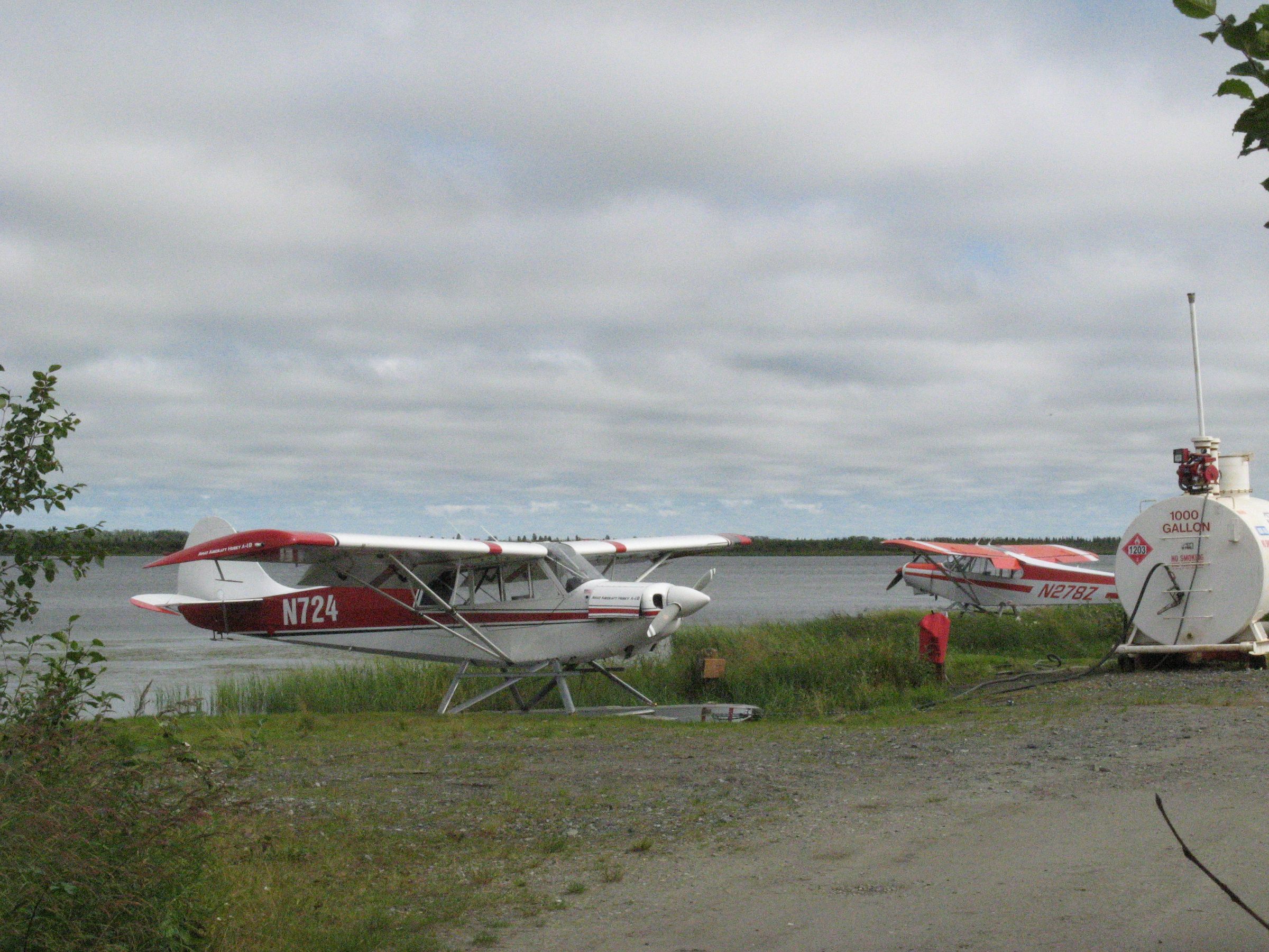
That proof came from the Alaskan bush. In 1999 the FAA began the Capstone program around Bethel, in the Yukon-Kuskokwim Delta of southwest Alaska. It is a roadless region where small aircraft are not a hobby but the practical way to move people and supplies. The accident record for those aircraft was grim. The combination of terrain, unpredictable weather, and no radar led to a higher than average rate of accidents.
The FAA equipped 200 commercial bush aircraft with GPS avionics, ADS-B, a moving map that showed the terrain, and datalink weather. The most important component was the receiving half of ADS-B, the part called ADS-B In: a cockpit display showing the ground around them, the weather ahead, and other traffic. A University of Alaska Anchorage and MITRE evaluation later estimated the drop in accident rate for equipped aircraft around 40 percent. That result, more than any bench test, is what convinced the FAA to take ADS-B national.
Making it law
On May 28, 2010, the FAA issued the ADS-B Out mandate. This set a deadline almost ten years out. From January 1, 2020 on, an aircraft would need to broadcast ADS-B Out to fly in most controlled US airspace.
The United States was not first. Australia, a continent with a great deal of empty sky and little ground radar, had more reason to move: it required ADS-B in its high airspace from 2013 and for every instrument flight by 2017. Europe set its own requirement, with a deadline that a pandemic-era extension pushed to December 2020. After those dates, flying in busy airspace without broadcasting was no longer an option for the vast majority of operators. The Alaskan experiment was now the standard.
Surveillance from orbit
One gap remained, the same one that had prompted contract reporting in the first place: the ocean. Ground receivers cannot be placed mid-Atlantic, so the solution was to lift the receivers off the ground entirely. In 2012, the satellite operator Iridium and NAV CANADA formed a company called Aireon. The goal was to install ADS-B receivers aboard Iridium's next constellation of satellites.
Between January 2017 and January 2019, SpaceX launched that constellation: 75 satellites, each one carrying an Aireon receiver. In the spring of 2019, space-based ADS-B went into service over the North Atlantic, the busiest oceanic airspace in the world. Controllers could now watch aircraft update every eight seconds, and began reducing the required spacing toward 14 nautical miles. The ocean that opened this story was, at last, covered.

The accidental commons: public flight tracking
What the designers did not intend to create was the public flight-tracking ecosystem that evolved. ADS-B is an open broadcast: unencrypted, unauthenticated, in a published format. Anyone in range with a cheap radio can receive it and decode it. So people did.
An ecosystem grew from volunteer receivers. FlightAware launched in 2005, first on radar data and later on its own ADS-B network. Flightradar24, founded in 2006, opened its receiver network to the public in 2009 and grew into the largest network. PlaneFinder appeared in 2009, the research-oriented OpenSky Network around 2012, and ADS-B Exchange in 2016. The signal a controller uses to separate traffic is the same one a hobbyist pulls off a rooftop antenna. The same signal we reconstruct into flight paths at SkyPath. None of this was in the original plan.
From the radar dish to the rooftop
Fifty years separate the two ends of this story. At the start is a rotating antenna that lost every aircraft the moment it slipped below the horizon or crossed the coast. At the end is an aircraft that reports its position to the open air, unaware of the receiver.
The technology took decades to arrive. The view it produced feels extraordinary.
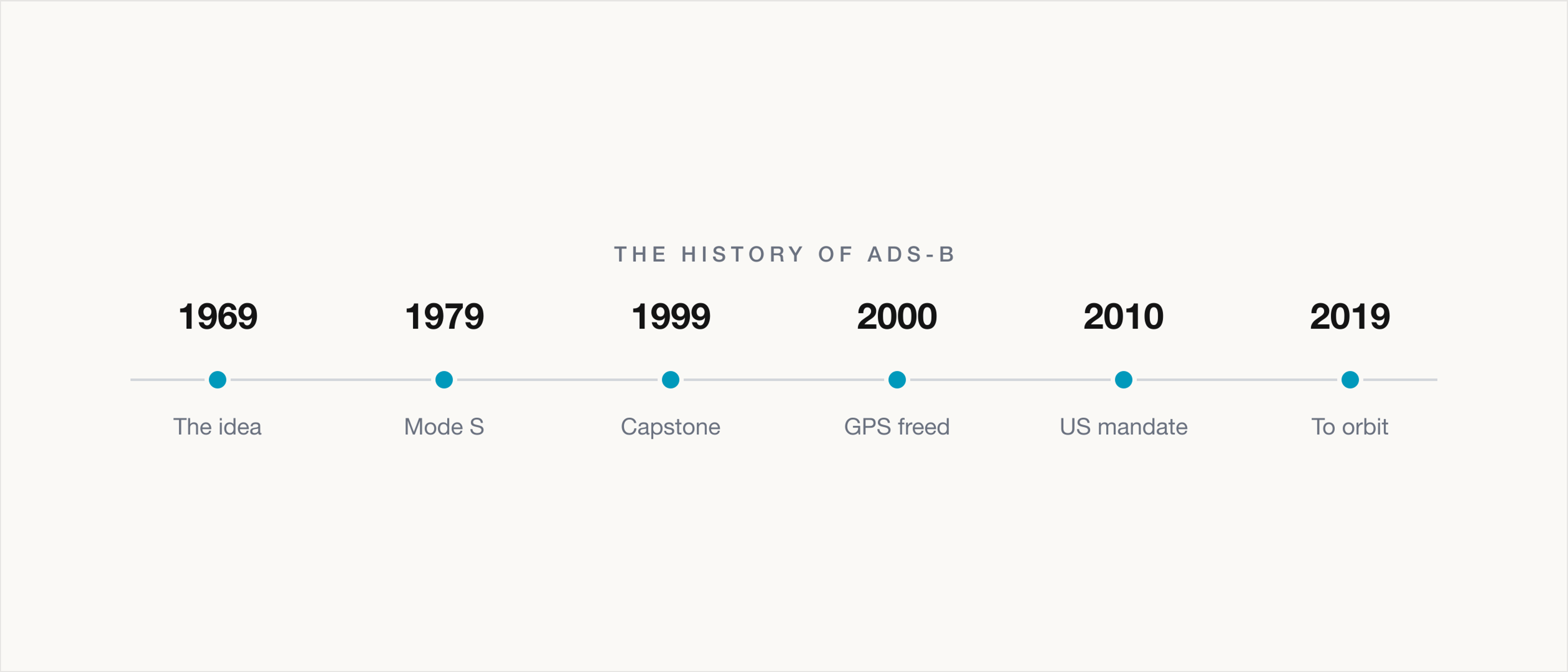
- 1969
- An advisory committee recommends DABSInterrogate each aircraft by a unique address instead of shouting at all of them at once.
- 1971-1979
- Mode S is built at MIT Lincoln LaboratoryThe addressable transponder, first called DABS, that 1090 MHz ADS-B later rides on.
- 1983
- ICAO forms the Future Air Navigation Systems committeePlanning the shift from ground radar toward satellite-based surveillance.
- 1994
- ADS-B is demonstrated over the Gulf of MexicoA Lincoln Laboratory team broadcasts a GPS position in a Mode S squitter for the first time.
- 1995
- GPS reaches full capability; the first FANS oceanic service fliesA global position source arrives, and an aircraft first reports itself over the ocean by data link.
- 1998
- RTCA publishes the first ADS-B standardDO-242 defines the broadcast form so it can work across manufacturers and borders.
- 1999
- The Capstone program begins in AlaskaAbout 200 bush aircraft are equipped; the accident rate falls sharply.
- 2000
- Selective Availability is switched offCivilian GPS accuracy jumps roughly tenfold overnight.
- 2010
- The FAA issues the ADS-B Out final ruleNearly ten years of runway to a January 1, 2020 deadline.
- 2013-2017
- Australia mandates ADS-B ahead of the USHigh airspace in 2013, every instrument flight by 2017.
- 2019
- Space-based ADS-B goes live over the North AtlanticOceanic separation begins to shrink toward 14 nautical miles.
- 2020
- The US and European mandates take effectBroadcasting ADS-B Out becomes required to fly most controlled airspace.
Image credits
Radar photo by Andy Mitchell, licensed CC BY-SA 2.0, via Wikimedia Commons. Bethel float planes by Andrea Pokrzywinski, licensed CC BY 2.0, via Wikimedia Commons. Falcon 9 Iridium-4 photo by SpaceX, released CC0, via Wikimedia Commons.