For most of aviation's history, knowing where an aircraft was meant pointing a radar antenna at it and waiting for the echo. That method built the air traffic control system we still rely on, and it came with limits that never fully went away. Radar is expensive to install, it thins out over oceans and mountains, and it refreshes a target's position only every several seconds. ADS-B was designed to remove those constraints by inverting the problem. Instead of an aircraft being found by a ground sensor, the aircraft reports its own position, continuously, to anyone listening.
The acronym stands for Automatic Dependent Surveillance-Broadcast. The technology now underlies most of what people mean by "flight tracking," from the controller's scope to the public map you open to check whether a flight is running late. Understanding it starts with the thing it replaced.
What radar could not do
Two kinds of radar underpin conventional surveillance. Primary radar transmits a pulse and measures the energy that bounces off an aircraft's skin. It needs no cooperation from the target, but it returns little more than range and bearing. Secondary surveillance radar interrogates a transponder aboard the aircraft, which replies with an identifying code and a pressure altitude. The second type carries more information, but both share the same physical weaknesses.
A rotating antenna sees a given target once per sweep, so position updates arrive roughly every 5 to 12 seconds, and the location a controller reads is always slightly behind where the aircraft has moved to. Coverage follows line of sight, which leaves terrain shadows, gaps at low altitude, and almost nothing over open water. Each radar installation is also a large, costly piece of infrastructure that has to be built, powered, and maintained on the ground. For airspace over the North Atlantic or the middle of a mountain range, building enough radar was never realistic.
Reading the acronym
The name describes the mechanism one word at a time, which is the fastest way to understand how it works.
Automatic. The system transmits on its own. There is no interrogation from the ground and no button for the crew to press; once the equipment is on, it broadcasts.
Dependent. The position it reports is not measured externally. It depends on the aircraft's own navigation source, a global navigation satellite system receiver that in practice means GPS, to determine where the aircraft is.
Surveillance. The broadcast carries what a controller needs to manage traffic: position, barometric and geometric altitude, ground speed, heading, and a unique identifier tied to the airframe.
Broadcast. The message goes out to everyone in range at once, with no handshake and no addressing. A ground station receives it. So does a nearby aircraft. So does a hobbyist with an antenna on the roof.
Put those together and the result is a position fix about once per second, derived from satellite navigation rather than a returned pulse, and accurate to within meters instead of the coarser fix a distant radar produces.
Out and In
ADS-B is really two capabilities, and the distinction matters because regulators treat them differently.
ADS-B Out is the transmitting half. The aircraft takes its GPS position and the rest of its state data and broadcasts that package on a defined schedule. This is the part that authorities require, because it is what makes the aircraft visible to controllers and to other traffic without a radar in the loop.
ADS-B In is the receiving half. An aircraft equipped to receive can pull in the broadcasts around it and display nearby traffic directly in the cockpit. On one of the two frequencies it can also receive free flight information, including weather imagery and notices to air missions, pushed up from the ground. ADS-B In is not mandated, and many aircraft transmit without receiving, but it is where a lot of the safety benefit for pilots actually lands.
Two frequencies, two jobs
ADS-B runs on two different radio links, and which one an aircraft uses depends on where and how high it flies.
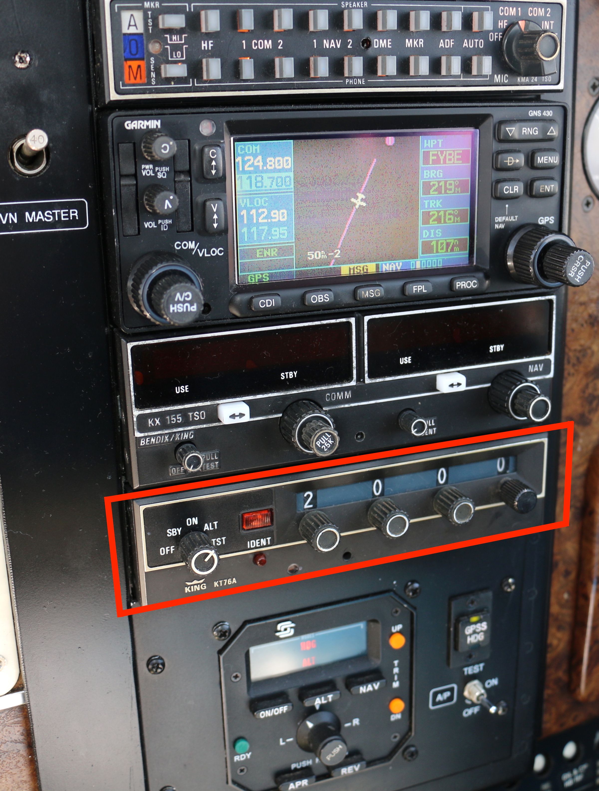
The global standard is 1090 MHz Extended Squitter, usually written 1090ES. It rides on the Mode S transponder that airliners already carry, and it is the link required at higher altitudes and across most of the world. Any aircraft operating internationally uses it.
The second link, used only in the United States and only below 18,000 feet, is the 978 MHz Universal Access Transceiver, or UAT. It was introduced to give general aviation a lower-cost path to compliance, and it carries an extra service the 1090 link does not: a free uplink of weather and aeronautical information that a receiving aircraft can display without a subscription.
The mandate that made it the backbone
ADS-B existed for years as an optional capability. What turned it into the foundation of the surveillance system was regulation, the last chapter in a fifty-year path from radar to satellites. In the United States, the rule took effect on January 1, 2020: ADS-B Out became required to operate in most controlled airspace, broadly the airspace where a transponder was already needed. Europe adopted a comparable requirement on a similar timeline. After those deadlines, flying in busy airspace without broadcasting was no longer an option for the vast majority of operators, and the ground network had a near-complete picture to work from.
That near-complete picture had one remaining hole.
Filling the last gap from orbit
Ground receivers, however cheap, still cannot be placed in the middle of an ocean. For decades, oceanic air traffic was managed through procedural separation, with aircraft kept far apart because controllers could not see them in real time and relied on position reports radioed at intervals.
Space-based ADS-B closed that gap. A company called Aireon placed ADS-B receivers aboard the 66-satellite Iridium NEXT constellation in low Earth orbit. Those satellites pick up the same 1090 MHz broadcasts the aircraft were already sending and relay them to controllers, which for the first time put live surveillance over the North Atlantic and other remote regions. With real-time positions in hand, air navigation service providers began reducing the spacing required between aircraft on oceanic tracks, fitting more flights onto the efficient routes without lowering the safety margin.
What it actually solves
Lined up against the radar system it supplements, ADS-B improves four things at once.
It updates faster. A position about once per second replaces a sweep every several seconds, so the displayed track stays close to the truth instead of trailing it.
It is more accurate. A GPS-derived fix is sharper than a position triangulated from a radar return, and it degrades far less with distance from the sensor.
It reaches further for less money. A receiver is a fraction of the cost of a radar, which makes it practical to extend coverage into airspace that was never worth a radar site, and satellites finish the job over water.
And it is open by design. The broadcast is unencrypted and uses published formats, which is the entire reason a public flight-tracking ecosystem exists. Services such as Flightradar24, FlightAware, ADS-B Exchange, and OpenSky are built on networks of volunteers running their own receivers that pick up the same signals controllers use, then stitch them into the maps anyone can watch.
The data behind the picture
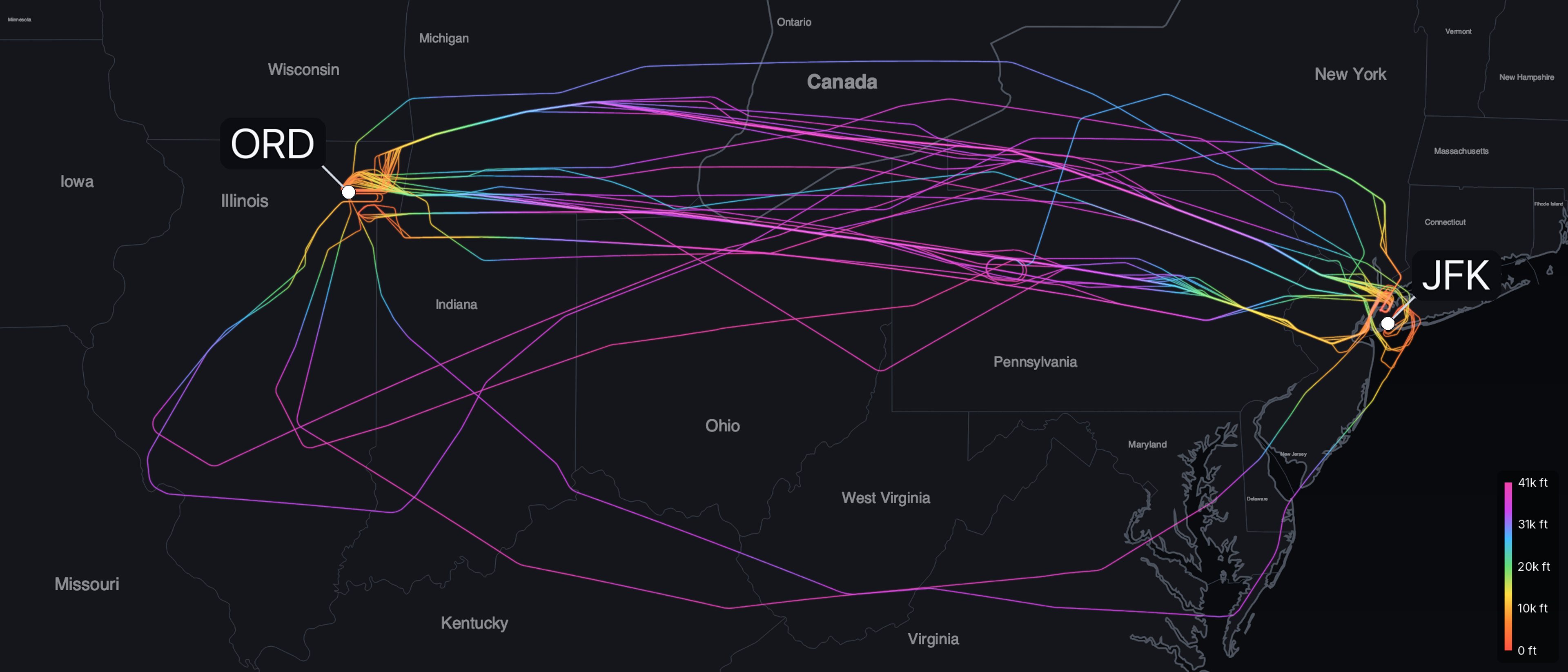
Because ADS-B Out is continuous and public, a single flight leaves a complete trail behind it: position, altitude, and speed, logged about once per second from the moment the aircraft powers up to the moment it shuts down. The map at the top of this article is one example: every flight tracked across Europe on a single ordinary day, February 18, 2026, drawn from this data. It holds 26,284 flight legs from every kind of aircraft, from airliners to light general aviation, covering 13.9 million statute miles, with each path colored by its altitude. Every track is reconstructed from the aircraft's own broadcasts. That stream is the raw material behind every flight-path visualization, including the ones we turn into prints at SkyPath. The same broadcast that lets a controller separate traffic over the Atlantic is what makes it possible to reconstruct exactly where a given aircraft has flown.
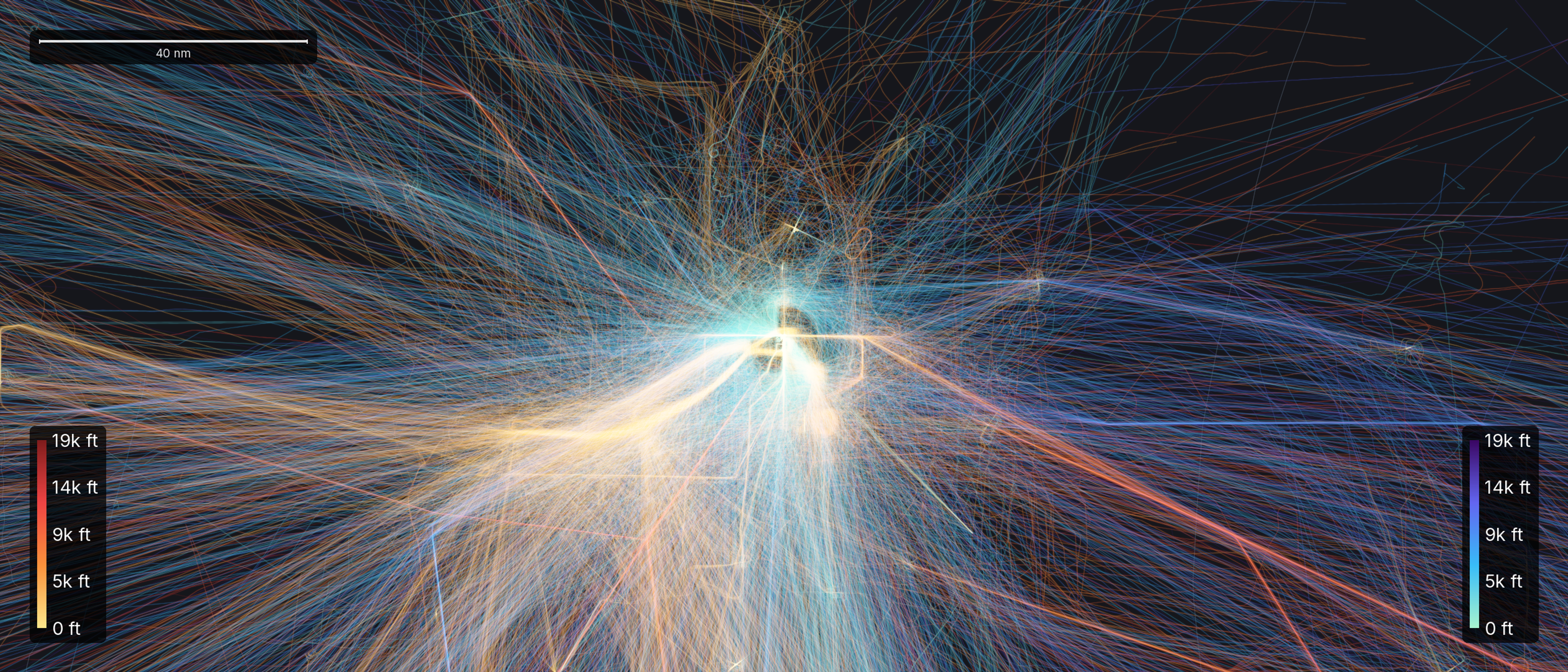
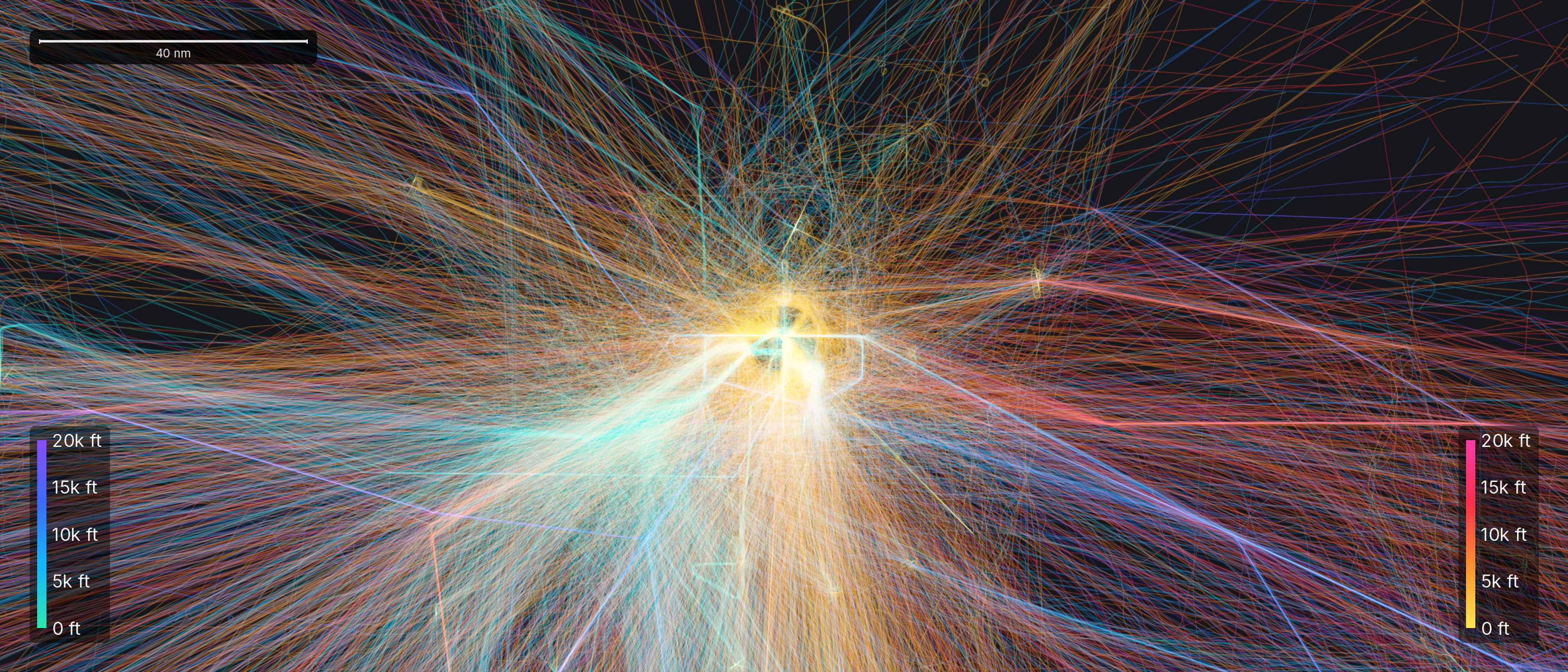
Let those trails pile up over a single busy airport and they reveal patterns no individual track shows, like the holding patterns aircraft fly while they wait their turn to land.
Most passengers never hear the technology named. But the aircraft icon moving across a tracking map is not being watched from a radar dish on the ground. It is reporting its own position, second by second, to anyone who tunes in.
Image credits
Transponder photo by Hp.Baumeler, licensed CC BY-SA 4.0, via Wikimedia Commons. Antenna photo by Happy-marmotte, licensed CC BY-SA 3.0, via Wikimedia Commons.